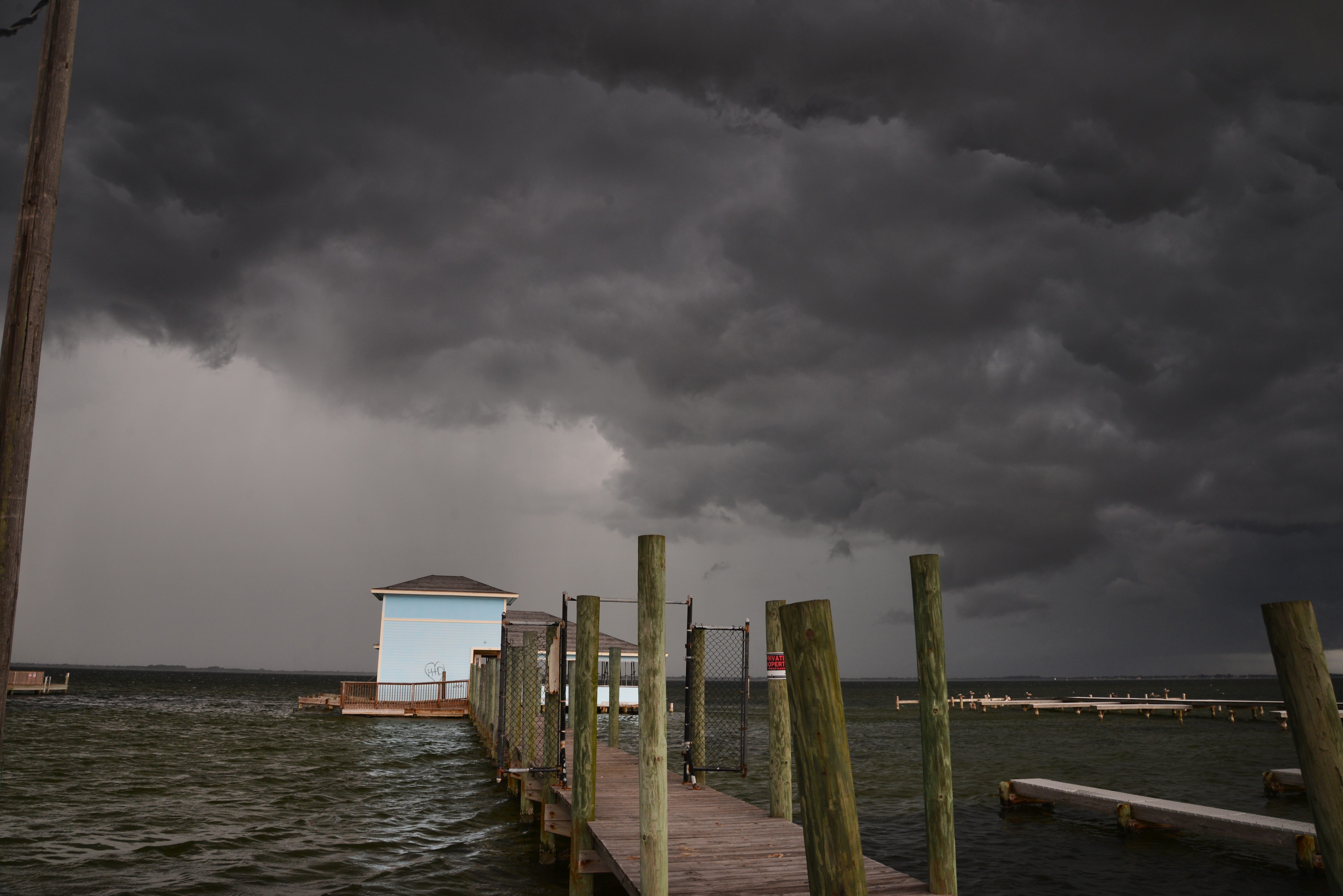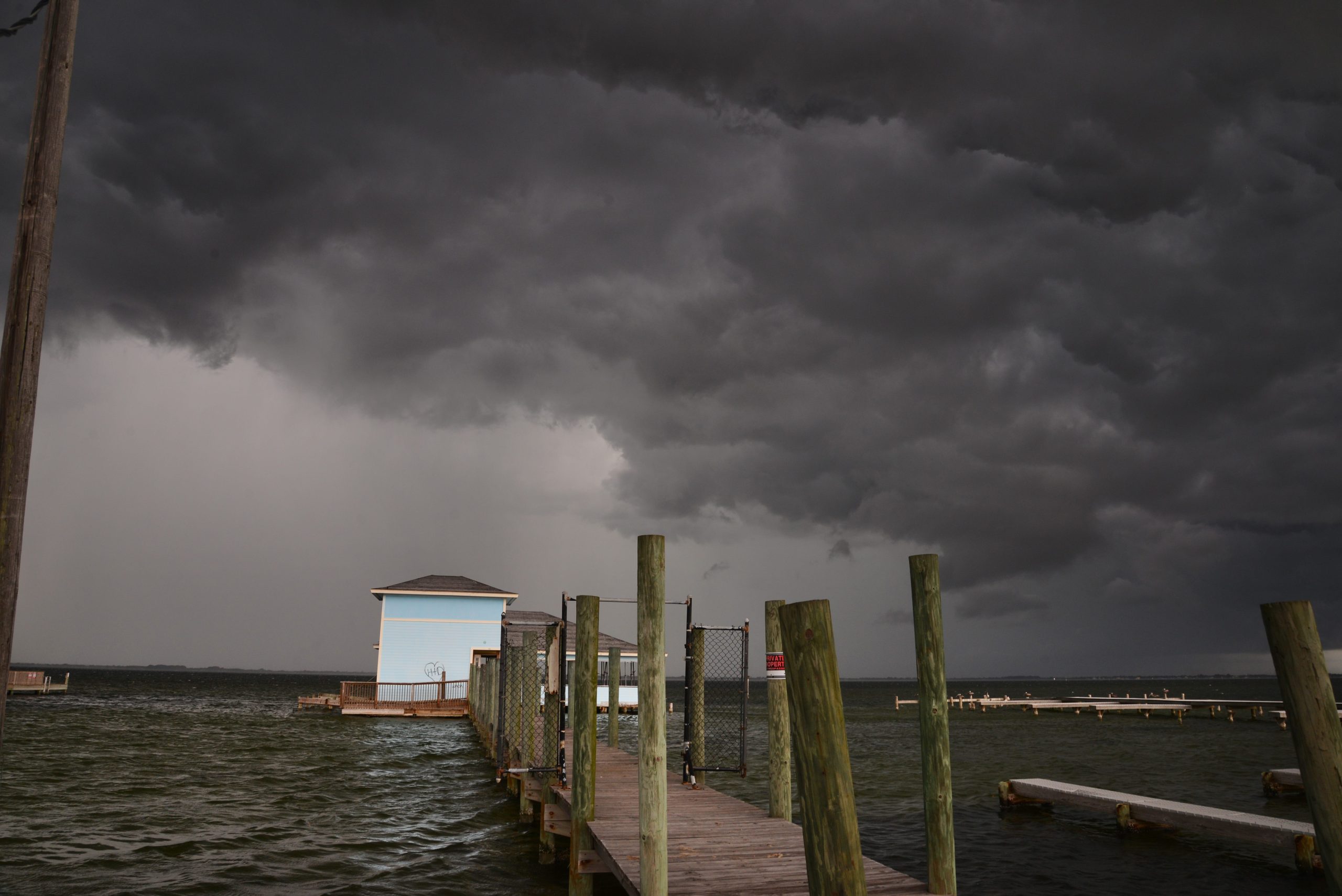
Idalia is now a hurricane.
Idalia strengthened overnight while brushing past the western tip of Cuba.
The National Hurricane Center expects Hurricane Idalia to continue to quickly gather strength as it pushes further into the Gulf before making landfall in Florida as a Category 3 storm somewhere between the Big Bend area and Tampa Wednesday morning.
While Idalia is expected to cross the state north of Brevard, high winds and rain are still possible for our area. The National Hurricane Center issued a tropical storm warning Monday for the Atlantic Coast from Georgia south to Sebastian Inlet, meaning that tropical storm conditions were expected within 48 hours.
No evacuations have been ordered for Brevard, but local officials are watching the storm closely.
You can read yesterday’s blog posts here.
Check back frequently for updates.
Port Canaveral closed at 9 p.m. Tuesday, because of expected high winds from Hurricane Idalia.
“Port Canaveral is closed, and has ceased all waterside and vessel shoreside port operations until further notice,” the port said in a statement. “Based on current forecasts and storm information, Port Canaveral is not issuing a marina evacuation order for Hurricane Idalia. Vessels berthed at marinas located in Port Canaveral should consult with their marina owner/operator, and comply with marina specific requirements and precautions.”
The port said “landside operations at Port Canaveral may remain open and operate as deemed necessary. This includes cargo facilities, commercial establishments, restaurants and other businesses.”
Due to anticipated impacts of Hurricane Idalia, the KSC Bus Tour and the Apollo/Saturn V Center will not be operating on Wednesday, August 30.
All other exhibits at the main visitor complex will operate during regular hours of 9 a.m. to 5 p.m.
Please visit KennedySpaceCenter.com or Facebook and X (@ExploreSpaceKSC) for the latest updates.
In anticipation of increasing winds and declining weather conditions due to Hurricane Idalia, Mathers Bridge will close to boating traffic at 7 p.m. Tuesday, Aug. 29. The bridge will remain open to motor vehicle traffic.
Mathers bridge will not be reopened until storm conditions subside and bridge conditions can be assessed by the Brevard County Public Works department.
After a projected Gulf Coast landfall Wednesday as a Category 3 storm, a few path predictions show Hurricane Idalia returning south in the Atlantic for another landfall in Central or South Florida.
Any potential of a second impact from what’s left of the storm, a National Hurricane Center official said, would likely be minimal due to the weakening of the storm expected as it moves over land and into cooler Atlantic waters.
“If that scenario unfolded it would be very, very weak, maybe not even a tropical cyclone at that point,” said National Hurricane Center Deputy Director Jamie Rhome. “It might not even be a tropical storm.”
Brevard County government offices will remain open Wednesday as officials continue to monitor the track of Hurricane Idalia, which could bring tornadoes and severe wind to the area. Courts will also be open Wednesday.
Emergency Management Services director John Scott said the county remains at a Level 2 activation, with crucial employees on standby but not an all-hands scenario.
In a Facebook live video broadcast Tuesday afternoon, Scott described the situation, saying “all of the weather here is to the east. We’re definitely going to see some wind. We’ve seen our tornado threat increase a bit. It wouldn’t surprise me if we saw tornado watches for our area.”
Victory Casino Cruises has canceled its Tuesday evening gambling cruise and both of its half-day cruises on Wednesday out of Port Canaveral, according to Shirley Buchanan, the company’s marketing manager.
Buchanan said the move was made in anticipation of restrictions on port activity as winds from Hurricane Idalia pick up.
Brevard Public Schools closed Wednesday
Brevard Public Schools will be closed Wednesday because of the threats of high winds.
“The county remains under a Tropical Storm Warning and winds tomorrow morning could reach more than 35 miles per hour, sustained. If that happens, the wind speed would be too dangerous to have school buses on the roads,” a post on the district’s Facebook page said. The post was made just before 2:30 p.m. Tuesday.
“Each day in the classroom is important and we try very hard to protect the time our teachers have with students, but our number one priority is to make sure each student and staff member is safe.”
Eastern Florida State College and Catholic schools in Brevard will also be closed Wednesday. Florida Tech will hold classes as normal.
There were longer-than-usual lines and wait times on Tuesday for people seeking to drop off debris at the Brevard County landfills.
Brevard County Communications Director Don Walker said “everyone is trying to dump off things” before winds from Hurricane Idalia pick up overnight.
Compounding the issue is that one of the two landfills at Cocoa is filled to design capacity, and the county no longer can use it. A new landfill cell is scheduled to open in September.
Hurricane Idalia is causing some shifts in cargo operations at Port Canaveral, but thus far is not impacting the cruise ship schedule there.
Port officials said a tanker that was unloading petroleum at Port Canaveral on Tuesday planned to leave the port Tuesday evening, then return after the expected winds die down to complete its work.
Two cargo ships carrying lumber are remining offshore until the impact of the storm passes.
Royal Caribbean’s Oasis of the Seas was scheduled to be in port Tuesday afternoon and leave Tuesday evening. No major cruise ships are scheduled for Wednesday.
The Sebastian Inlet State Park and its associated camping sites are closed due to Hurricane Idalia.
“The Florida State Parks reservation team will email guests with affected reservations to make alternate arrangements or issue refunds,” officials said on the park’s website. “The park and its overnight accommodations will reopen as soon as conditions allow.”
For information about other state park closings visit the parks service’s Storm Updates page: https://www.floridastateparks.org/StormUpdates
Officials in the space industry are keeping a close eye on Hurricane Idalia, which has already shifted one planned launch.
Late Monday, United Launch Alliance teams at Cape Canaveral Space Force Station’s Launch Complex 41 began the hours-long process of standing down from a launch attempt of an Atlas V rocket originally set for liftoff Tuesday morning.
“Out of an abundance of caution for personnel safety, a critical national security payload, and the approaching Tropical Storm Idalia, the team made the decision to return the rocket and payload to the vertical integration facility (VIF),” ULA released in a statement Monday. A new launch date has not been announced.
Meanwhile, in space, four members of NASA’s Crew-6 mission, which launched to the space station in March, wait for an opportunity to come home. Initially slated to depart the station five days after the arrival of Crew-7 on Sunday, the quartet will spend at least one extra day in space.
For the Crew-6 astronauts to come home, they must splash down somewhere off the Florida coast. Currently, Florida has hurricanes churning off both coasts, category 4 Hurricane Franklin in the Atlantic basin and Hurricane Idalia off in the south Gulf of Mexico, which is expected to rapidly intensify into a major storm over the next day.
With two sentinel chickens already testing positive for the antibodies to West Nile virus in early August in Brevard County, health officials urge the public to take precautions as Hurricane Idalia’s rains forge more fertile ground for mosquito breeding.
While there are no West Nile virus illnesses yet in Brevard, acquired in Florida, there have been three cases acquired in Florida: two in Escambia County with onset in July and August and one “asymptomatic positive blood donor” cases reported in Bay County in August.
Hurricane Idalia has the potential to cause tornadoes in Brevard, according to the National Weather Service Melbourne office.
“In addition to strong wind gusts, a threat for tornadoes is forecast to develop this afternoon, continuing into Wednesday,” the Melbourne office said in a statement Tuesday morning.
Coastal areas in Brevard are forecast to get about 1.5 inches of rain today through Wednesday night, and two to four inches is forecast west of Interstate 95, from with locally higher amounts possible,
Hurricane Franklin, far out in the Atlantic Ocean, also will have an impact on Brevard’s shores.
“Incoming Atlantic swell from Hurricane Franklin, combined with winds from Idalia, will lead to high seas, rough surf, an increase in life-threatening rip currents, and beach erosion during high tides today and Wednesday,” the weather service statement says. “Do not let your guard down. Impacts from Idalia will be felt far from the center of the storm. Now is the time to ensure your hurricane supply kit is stocked and your safety plan is in place.
As Idalia becomes better organized today, any slight eastward adjustments in the forecast track would increase the potential for local impacts, the weather service said.
Catholic schools in Brevard will be closed Wednesday, according to a statement from Ascension Catholic School in Melbourne.
Ascension Catholic School will have a regular school day on Tuesday, August 29th, however, after Care will be closed and there will be no after school activities.
The statement said Ascension anticipated re-opening for normal activities on Thursday.
